Today, we left from the San Dieguito Trail
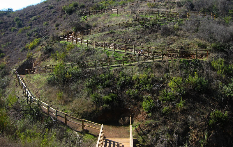
over to Lusardi Canyon. A pretty area with some quaint singletrack. Only later did I realize that there is a map online available here.
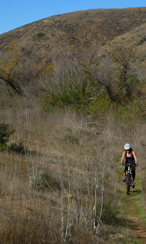
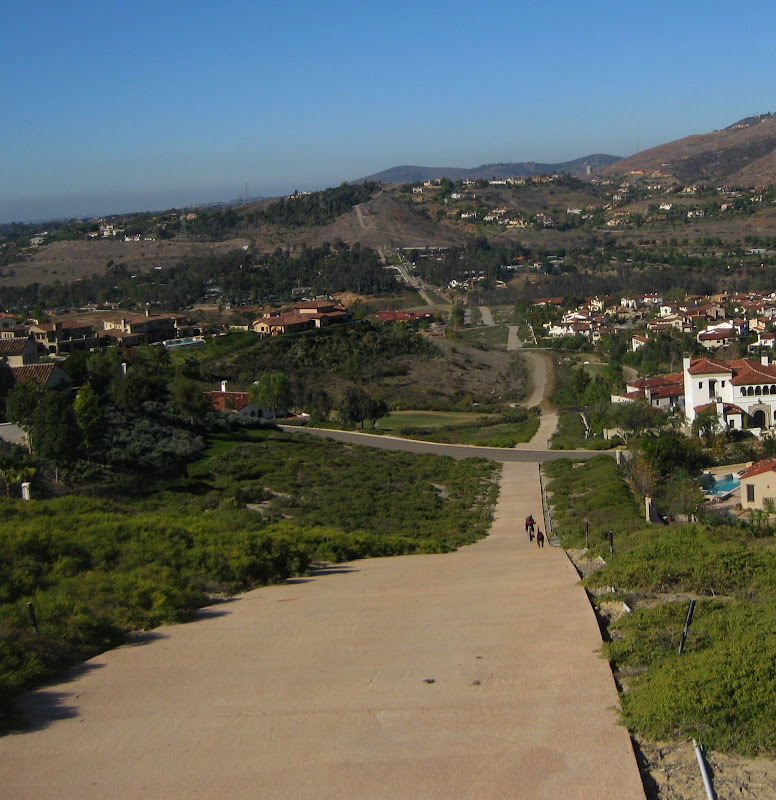
After exiting one of the trails, Kendall realized that we were at the Black Mountain Park. Mostly doubletrack in this area, although it was still pretty.

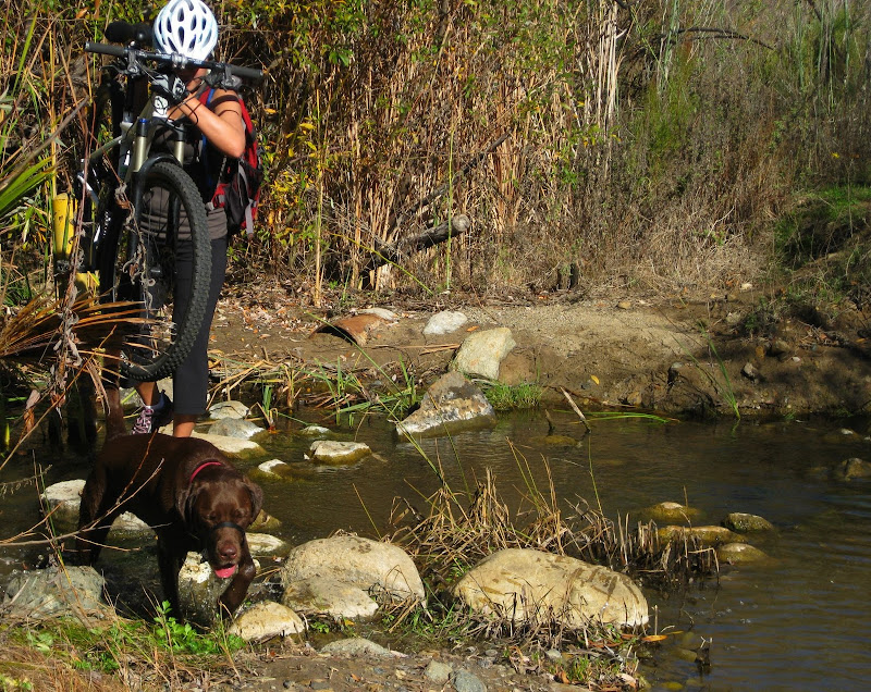
We doubled back on some water line roads that extended pretty far.
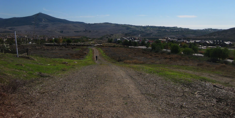
These small preserves and parks can be connected pretty easily with some creativity. Although the GPX file is not available on this site, this is where I originally got the idea.
No comments:
Post a Comment