The exploring south of Superior today was focused on finding some singletrack that could be used to shorten the route or stay off the highway. I think the AZ Trail north of Picketpost connecting to the jeep roads to get over to Oak Flats is a bit of a beast for most people to want to tackle (elevation + dirt roads).
I started off riding from Telegraph to Wood Canyon. The plan was to take the forest road to the end, then retrace backwards and ride the singletrack to the AZ Trail.
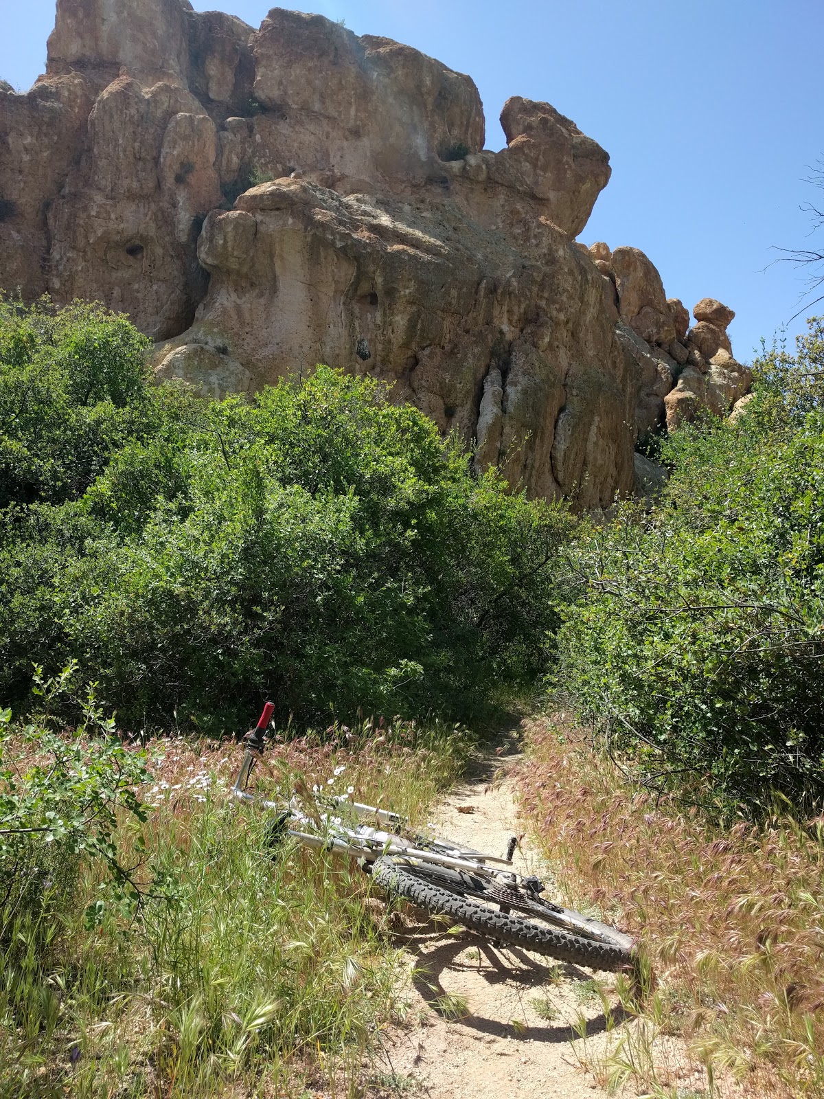
Here are some photos of the Wood Canyon road
The forest road got nasty after the springs (great water source if needed). I did not take take a picture but it got super HAB and was in a very, very rock wash. I turned around and went back to Wood Canyon Trail. This is the trail that can connect to Arizona Trail. I do NOT mind pushing my bike, so I would warn every reader that this trail is not 100% rideable. It is an adventure, one that will have you pushing your bike. Here are some pictures of that trail. Once I saw jeep tracks, I turned around because I knew the rest of the trail would go to the AZT.
I turned back around and went over to part of the Arnett Loop, the north side. This trail (which you can see from aerial shots) will connect you to Telegraph Jeep Road. I did not take very many pictures during for this trail, but I will say it is a difficult trail at the beginning. This trail passes Filaria Spring and Rock Tank.
At this point, it turns out I could have gone straight to from Telegraph to Arnett Spring (found this out later after the fact looking at aerial shots). Instead, I exited Telegraph Spring and went around by way of the Apache Tears Mine (aptly named since the obsidian rock that is all over the ground are small, black tear-shaped) by way of Perlite Road. The mine had some rock hounders digging for the obsidian. We chatted for a bit before I took Perlite Rd down to Arnett Creek.
Picketpost from the mine
I dropped down into Arnett and started heading west toward Picketpost. This trail is very, very rideable when compared to Wood Canyon. There are some techy sections and some creek crossings before it drops onto the Arizona Trail and then on towards Picketpost TH.
At this point, I took the highway to Superior HS and back, dirt roads to the car.
While the singletrack I found was fun, I am still wondering if mountain bikers will be ambitious enough to ride these sections. Thus far, I have the following loop that does NOT include these trails rather they are a network of existing AZ Trail, forest roads and Oak Flat exploration.
Here is that 80-mile, 13k feet of climbing loop:
What I eventually see happening is to have a GPX network with the above trails along with the above loop. The biggest downside of this loop is that from the exit of the Oak Flat section on highway 177, there is an extensive road section before you get to Battleaxe Road.
Frankly, my biggest goal of exploring this area was to get to know some of the geology and views more. I think this area is *vastly* underestimated and I see next fall (when it cools down again) as a time to come back out here and finish this GPX network. In the meantime, I will get the GPX network out to you in a few days and post it here:
GPX Network (coming soon)
Superior 80 Loop GPX (coming soon)