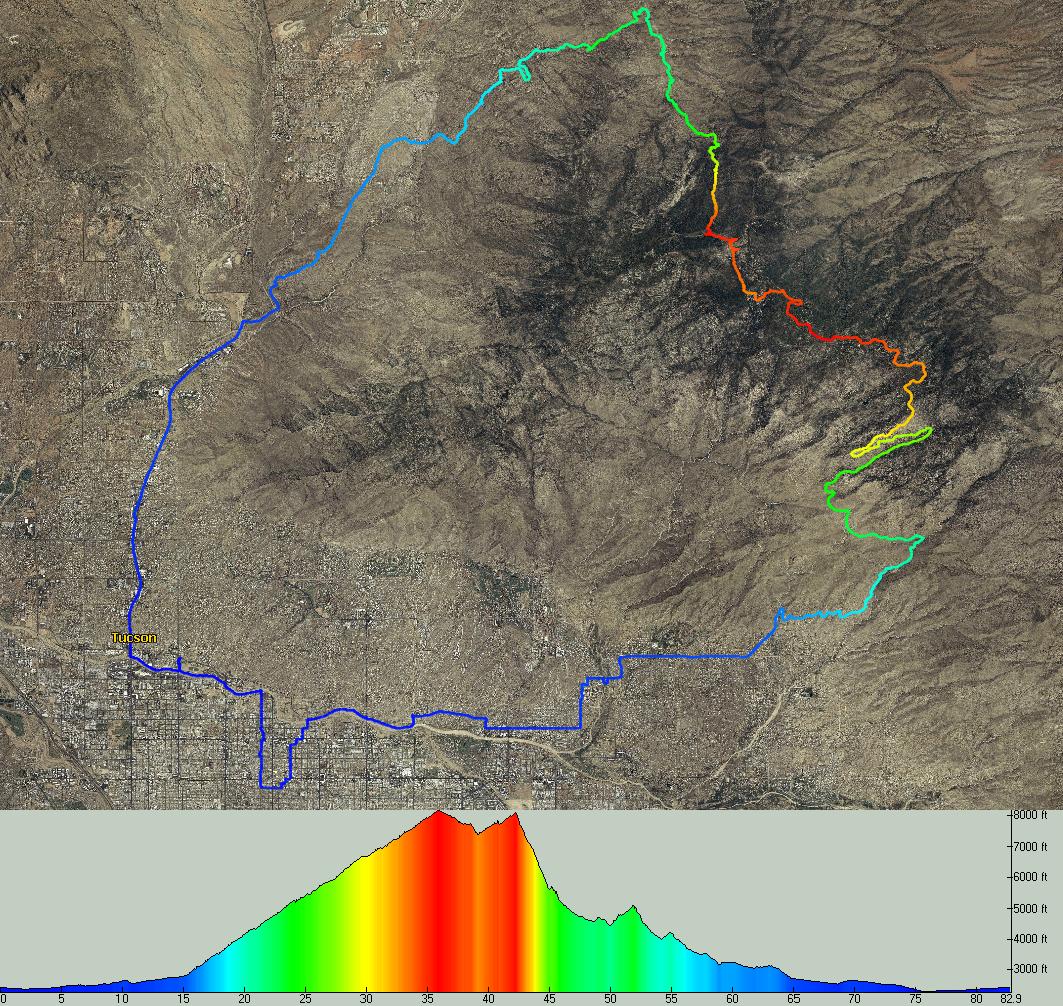
Picture from Topofusion and Scott's Blog
I managed to sucker Scott into a big ride yesterday.... The
Red Ridge Epic II. The name seems a little lacking, but what it lacks in creativity it has in technical descending.
The plan: go up Mt
Lemmon Highway, use as much
singletrack as humanly possible on the way up (Prison Camp, Cafe, 1918 and Sunset Trails) before dropping down the backside to Red Ridge up and over
Charleau Gap, the 50 Year Trail Network and finally Catalina State Park.
I left my house to meet Scott on the
Rillito Bike Path. Tons of people were out running and biking. It seems as though
Tucsonans have a habit of waking up early to exercise.
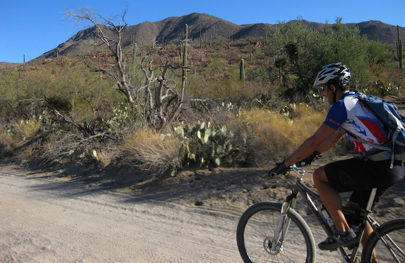
After the crowded bike path, we took some lessons from El Tour and went across the Canyon Ranch wash, before heading up Catalina Highway. On the way up to Prison Camp, we saw Campy and
Dave M, who were planning on doing
Molino and over to Bellota. We had three road cyclists come up and ask us "
What trails are you guys doing?" It was a pretty normal question, until each of them descended after asking us. Pretty weird, eh?
We split up at the
Molino Basin, Campy and Dave heading east on the AZT up
Molino (shown here)

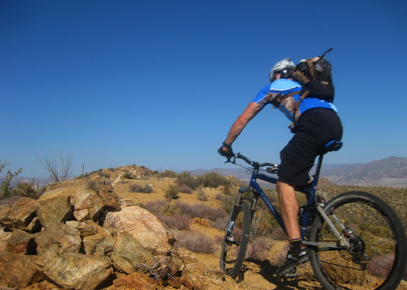
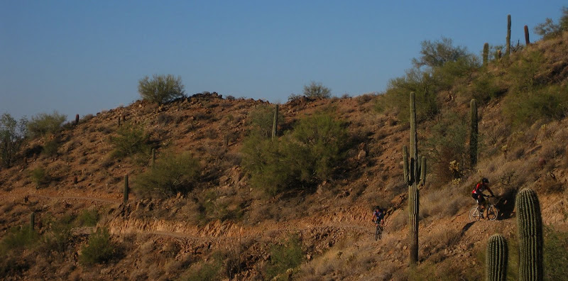
and Scott and I headed
up Prison Camp.
After Prison Camp, we had a decision to make. Continue up Bug Springs or take a rather large section of highway up to Cafe/1918/Sunset Trail. We opted for some road thinking that we may be short on time if we went up Bug Springs.

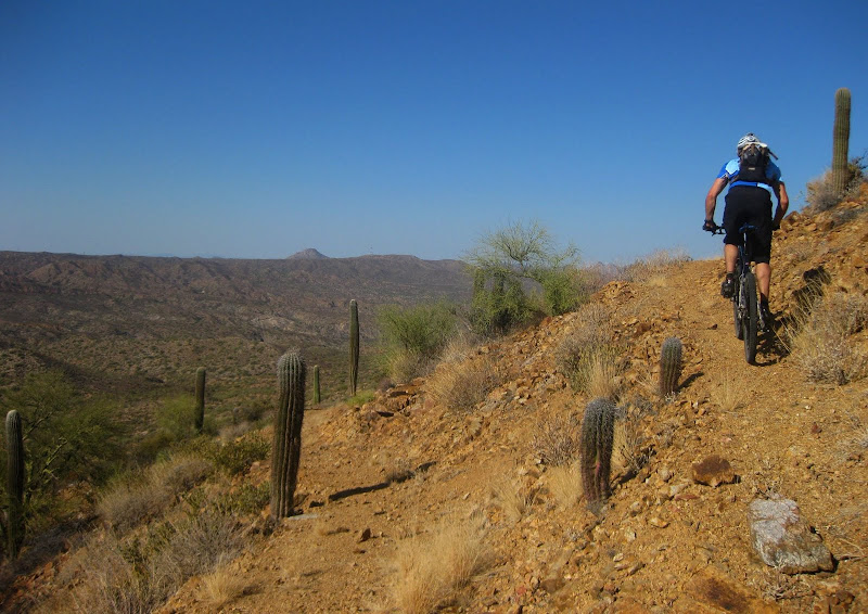
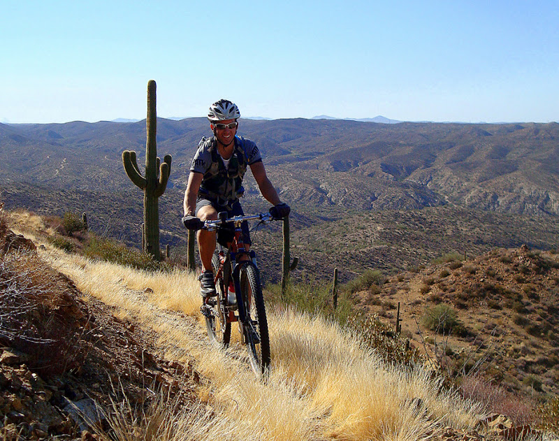
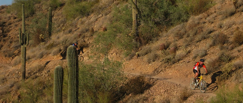
Then to more
singletrack....Cafe and 1918. Some pretty sections for sure. Plenty of maple leaves to distract our attention from the goal at hand.


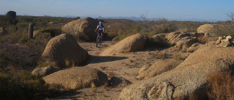
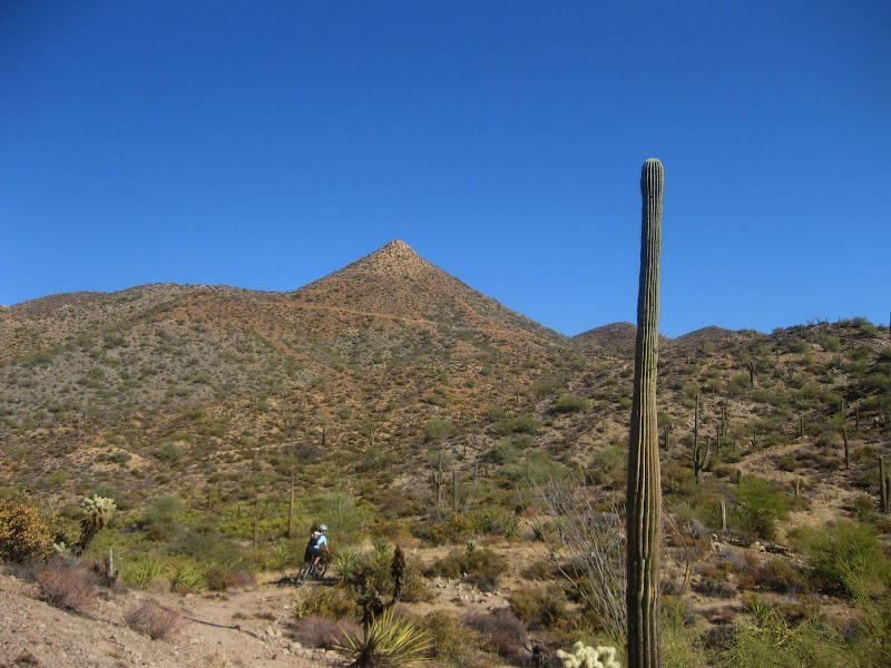
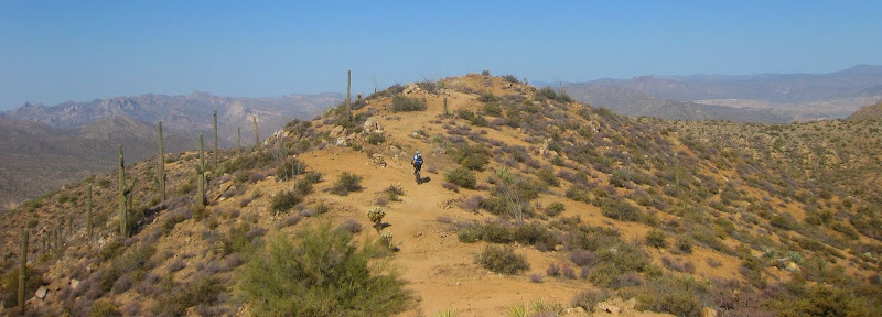
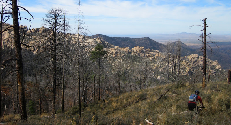
Mountain biking at its best....this was my favorite part of the trip on the front side of
Lemmon
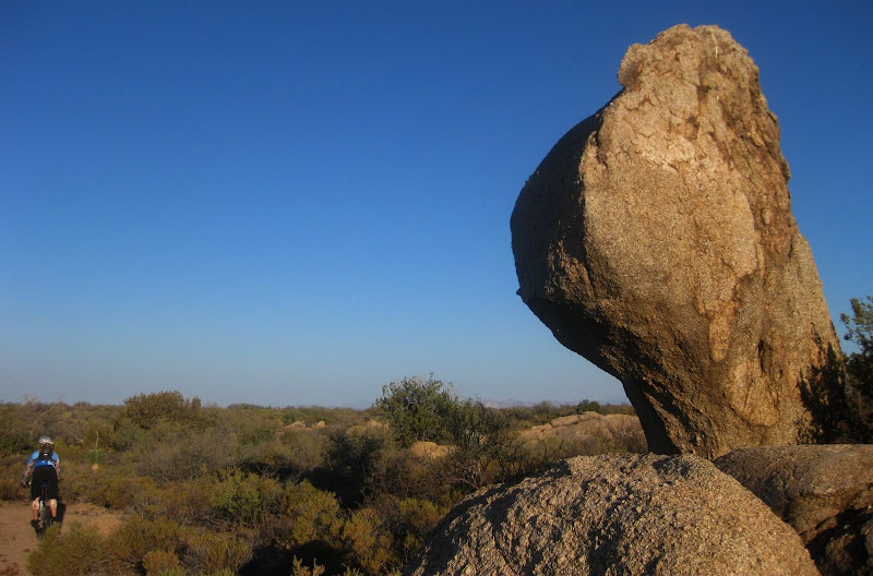
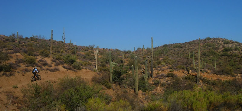
Here is a picture from Scott of the area, one of my favorites from the ride

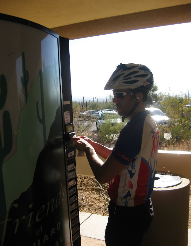
We headed over to Sunset before reaching the General Store at
Summerhaven. The new "Don Miguel Burrito" is this little beauty.....

Like this route, it lacks in name. Big Texas?! These 4.0 ounce treats are expertly- baked behemoth pastries that are packaged in a clear plastic wrapper emblazoned with the words Big Texas in purple print across the top of the package. Even better, it is only $1 and has 400 calories! After 20 seconds in the
microwave, it tasted just as fresh as the ones from the Cookie Cabin across the street! I highly recommend it.
I used to cringe at the thought of eating "gas station" food. On long rides, you have to eat your occasional Don Miguel or Big Texas. Now, I savor and embrace it. Big miles mean Big Texas has to become a reality at times.
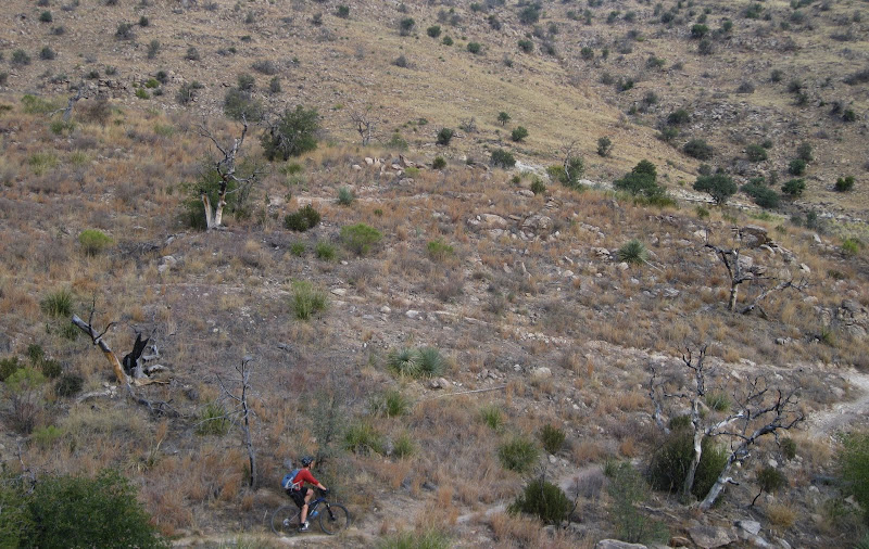
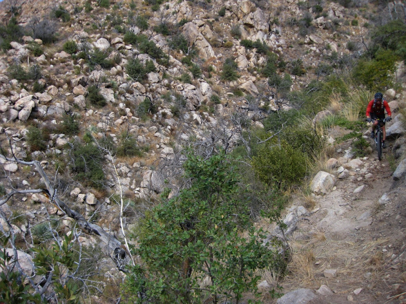
Calories in the stomach and bag, we headed to Red Ridge

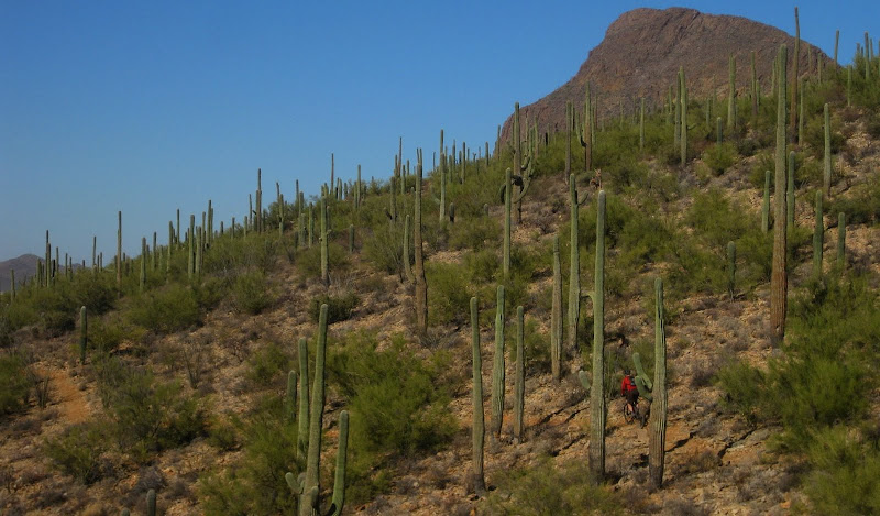
Red Ridge in all its glory. Words are useless here. Just look at the pictures to really see what this first section is like
Same area of the above picture, only from Scott's camera

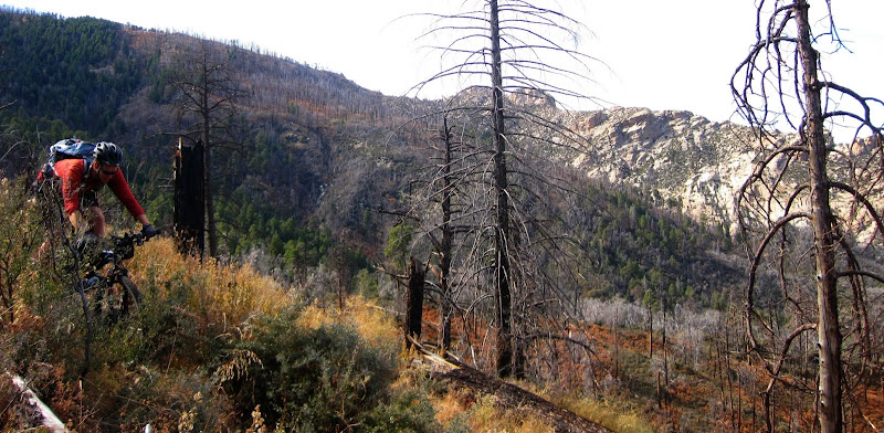
The trail seemed endless. Shouts of joy after nailing a switchback (attack!) echoed the canyon. A
coatimundi ran across the trail. More rock drops. Piles of rock moved underneath your wheel is you sped down. Thoughts of I-hope-my-sidewall-does-not-tear as I go over this rock. Followed by more shouts.
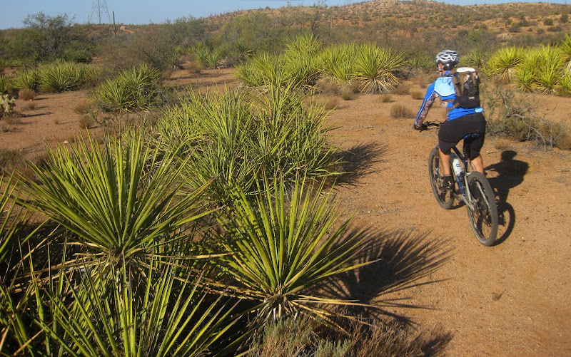
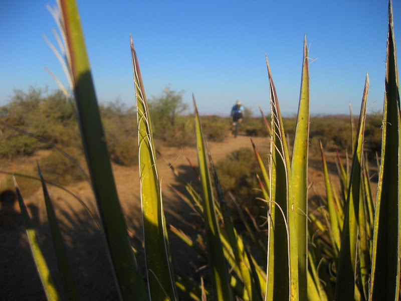
Ahhhhhh, it was good to be on the bike....Notice the change in the vegetation. The rocks gardens got progressively bigger as we descended.

When you hit the wash, there is some route finding involved, although they are plenty of cairns to guide the way. A GPS would help although it would be pretty hard to get lost in the canyon.

Scott began to yell as he was cleaning some rocky technical sections, followed by a huge sandy pit. As he was yelling, "
Yipppppppppppeeeeeee, woooo hoo!" continuously at the top of his lungs, I noticed some hunters in the tree. Classic moment. They asked us about the ride, which was only met with such statements as
"You climbed from your house?" Where did you camp?""Do you have enough water?"Although Scott had scared any chance of them getting a deer, they seemed pretty nice and inquisitive. A few minutes later we came to the
CDO intersection.

And later the climb up to
Charleau Gap

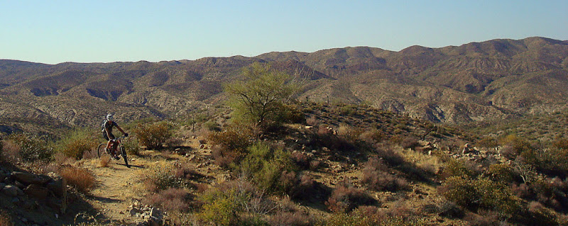
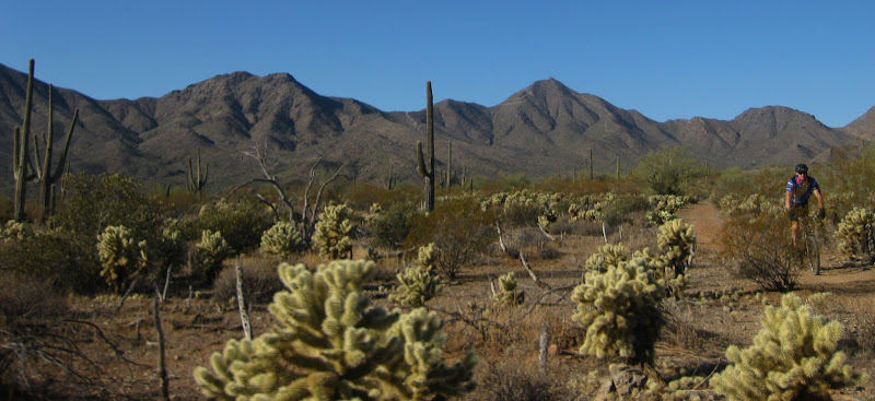
before descending into 50-year trail network

Once again, I was surprised to see how much fun descending (technical at times) there was in this loop. Scott and I traded off leading the fast
descent into 50-year Trail.

Plenty of
slickrock to really put a smile on your race.

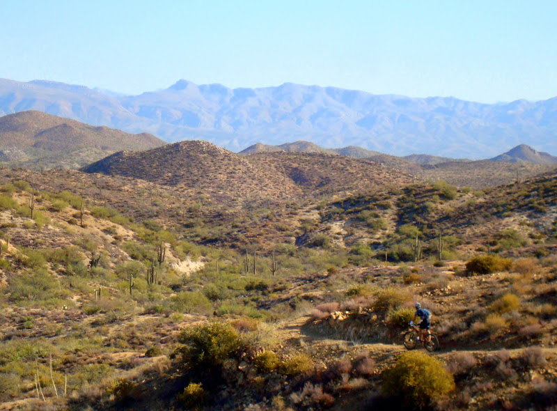
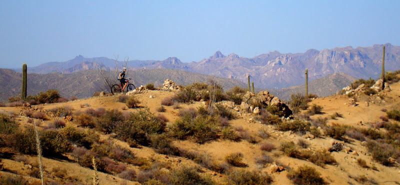
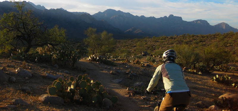
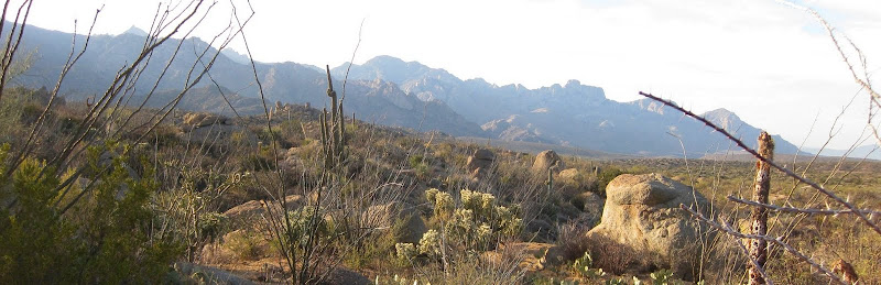
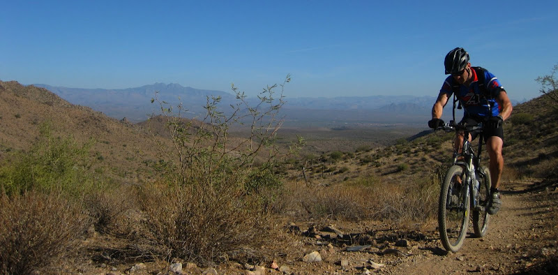
The next two shots give you a perspective on how high on
Lemmon we were before descending Red Ridge.

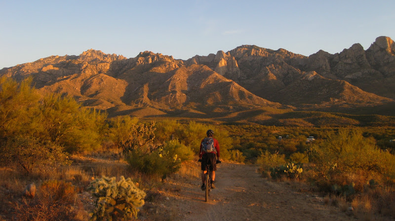
We exited the last section of
singletrack to Catalina State Park as the sun began to set.
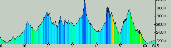
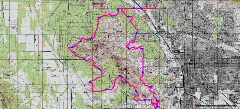
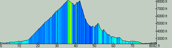
~11,000 feet of climbing
86 miles
13
ish overall hours
The Red Ridge Epic: Catalina Highway-Prison Camp-Catalina Highway-Cafe-1918-Sunset-
Summerhave-Red Ridge-
Charleau Gap-Cherry Tank Area-50 Year-Catalina State Park
Scott uttered a phrase at the end of the ride that had me thinking about our epic rides:
"That did not seem very hard, I feel great." Today, Scott calculated from the GPS tracks that we had done the route
one hour faster than last year despite the addition of
singletrack on front side of
Lemmon this year (Prison, Cafe, 1918).
Read last year's version, the first Red Ridge Epic ride here.