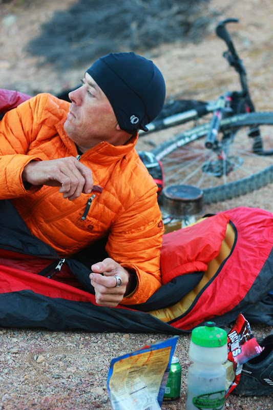
Mmmmmm...beef jerky for breakfast?
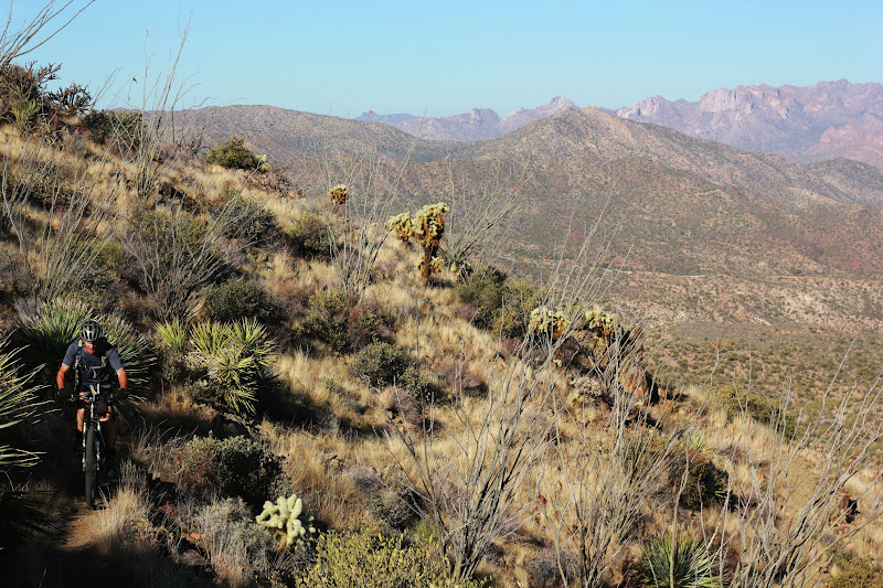
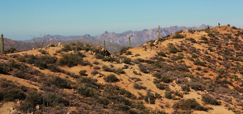
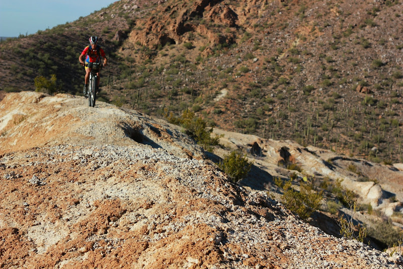
The Ripsey switchback competition between me and Max. The payoff being the great views on top of one of the best segments on the AZ Trail.
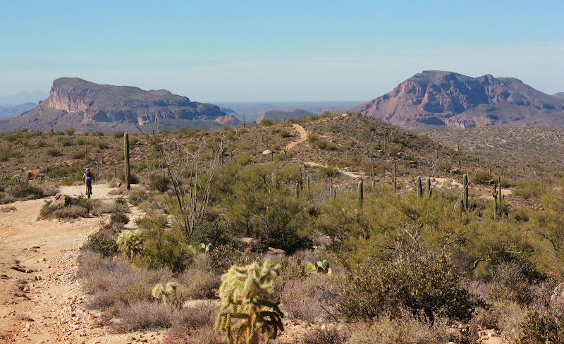
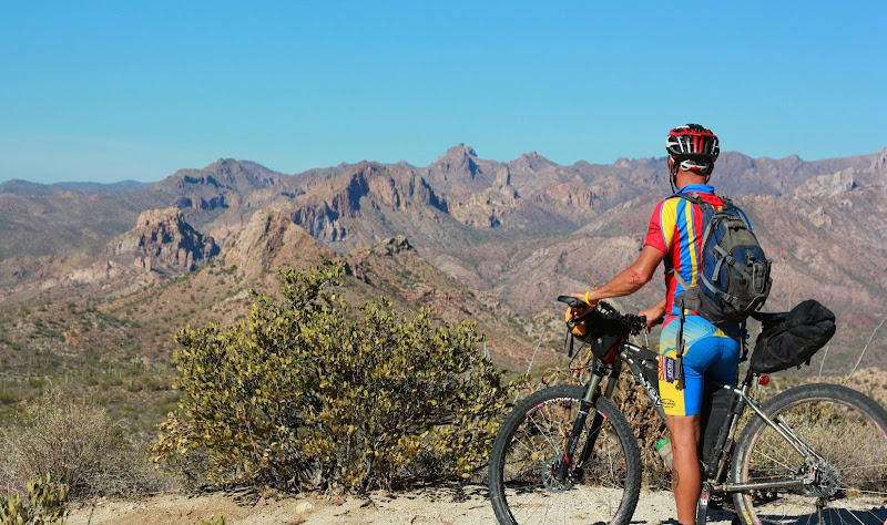
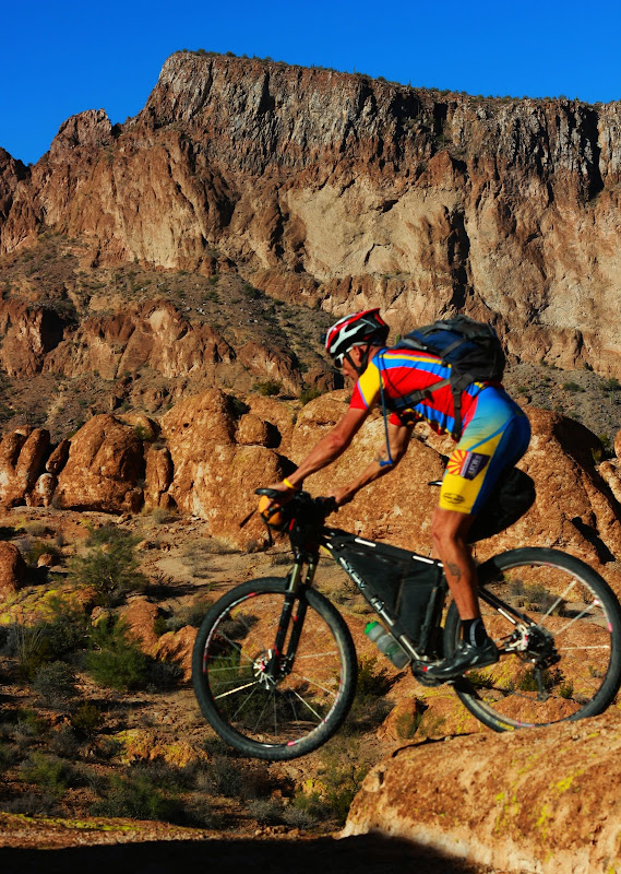
Lee with the Florence Kelvin Highway in the background. Climb, climb, climb!
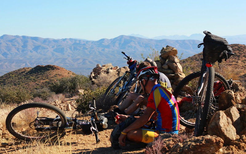
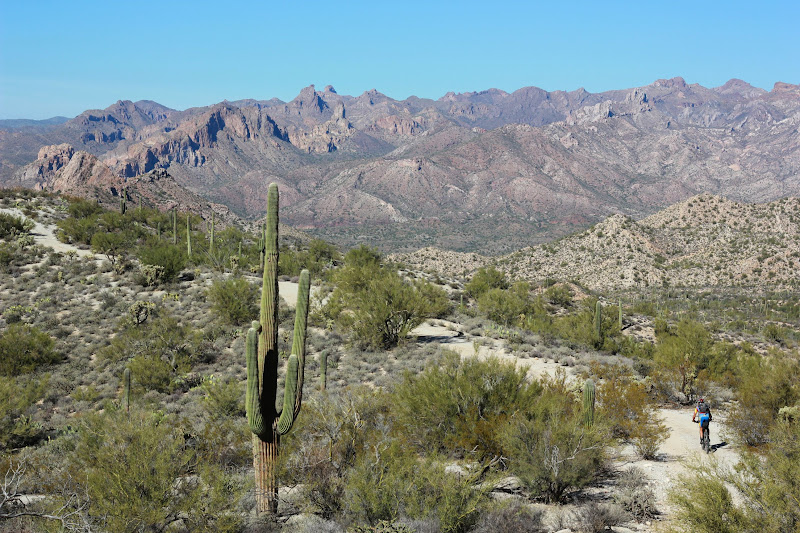
We stopped for lunch at the top to really enjoy the view.
Where is Lee?
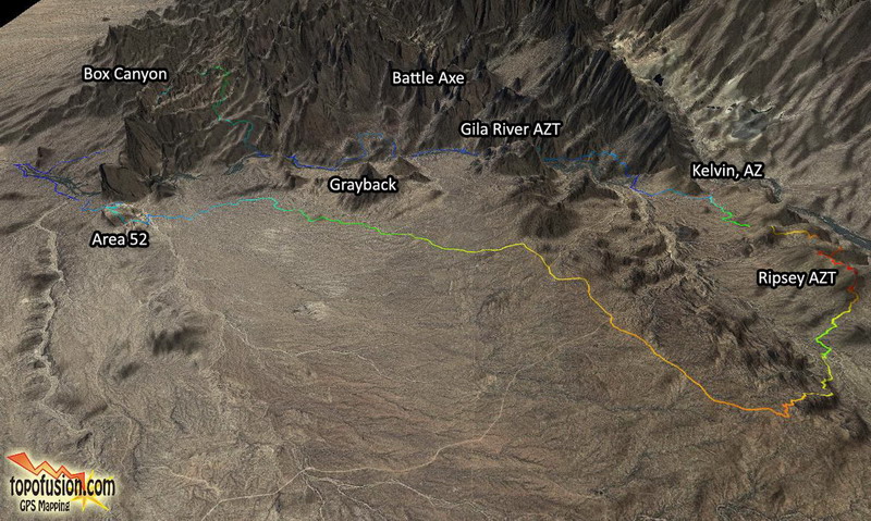
Max and I took the Gila River Scramble back way to Cochrane Rd to get some time at Area 52 while the rest bailed down Florence-Kelvin Highway to the cars.
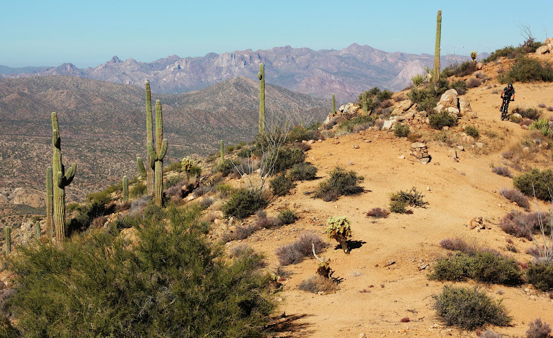
Even the dirt roads are pretty in this area.
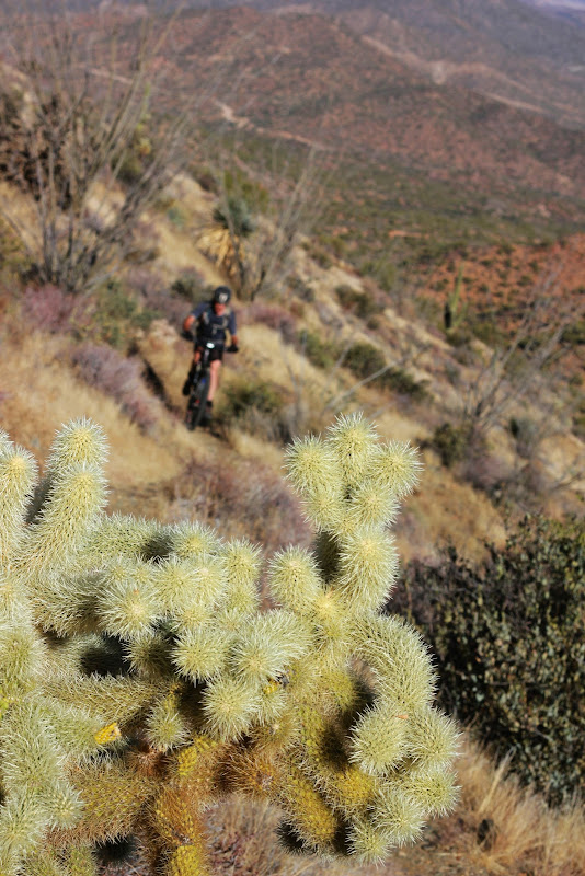
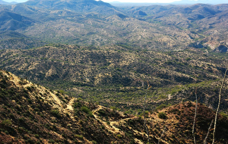
Looking where we came from...Max enjoys the view of the Gila Canyons from the night before.
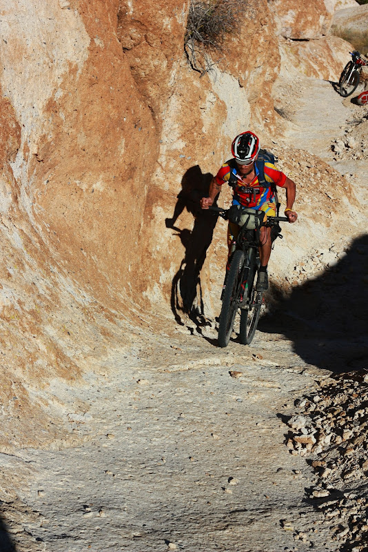
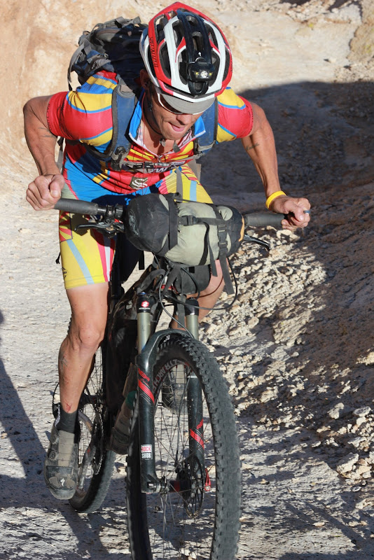
Ahhh the toilet bowl section. Last time Scott and I had visited this area, I broke my frame.
I
We did a quick out-in-back at Area 52, stopping to do some of the B-lines. I love this place.
We rode back up Cochrane Rd to the cars where the rest of the gang was napping and drinking some beer. Max and I joined in the fun, packed up and headed 1.5 hours back to my house. This area, being so close from my house, is one of the best places to be in the southwest. Vastly undervalued by all, I highly recommend you spend some time riding in the area.
The need to know about this route:
The Gila River Scramble is the official route that we have done in years past, while this route varied very little. One important thing is that Area 52 is a very tough place to navigate; I would recommend that you visit the area with someone that has been there before. Even following a GPX file would be very hard. It is a very, very loose area also.
The Gila River can be pumped, although we try to use the many water sources in the area.The following are some known water sources in the Gila area:
33.01988 -111.023718
33.036966, -111.154063
33.048797, -111.049580
33.066876, -111.033010
33.056225, -111.045417
 |
| Map from Bikepacking.net |

1 comment:
Doing my research to navigate this for a trip out there in March. Where is the canal bridge crossing over the Gila that you mention?
Post a Comment