Here are the three areas (with bonus mileage in parenthesis) I was trying to connect:
San Dieguito
Lake Hodges (climb San Bernardo Mountain)
Elfin Forest (go to the Lake Hodges Overlook)
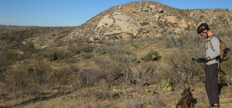
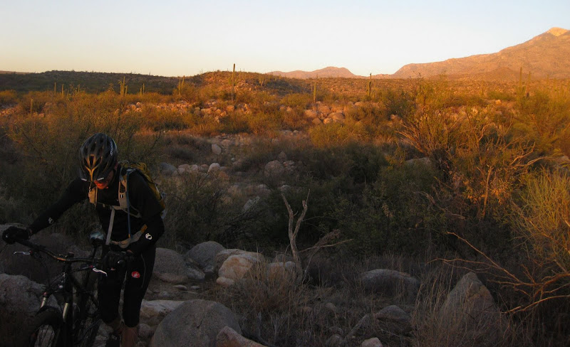
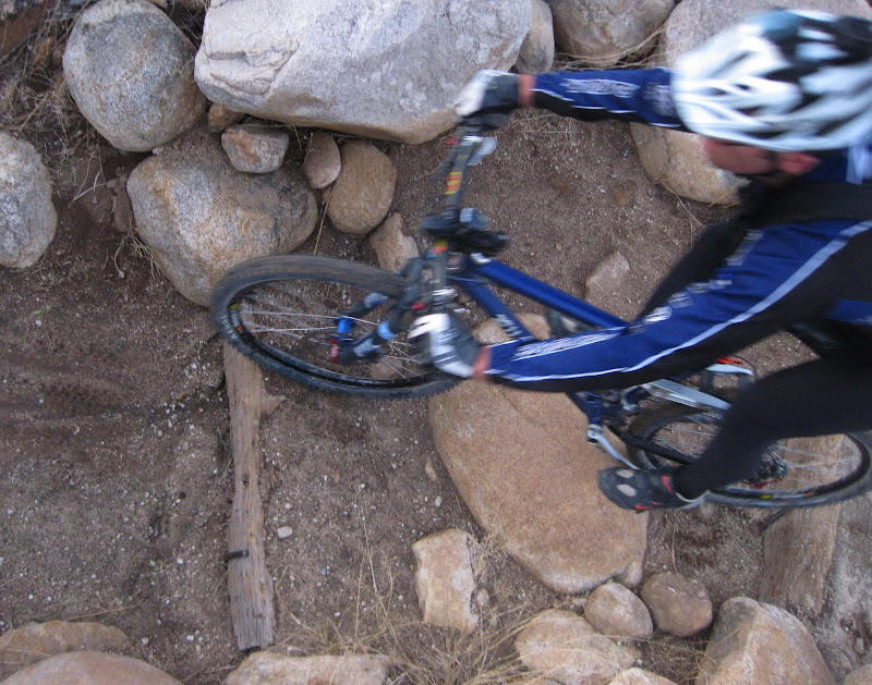
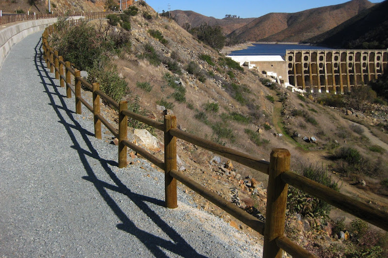
I set out this morning to try out the route I find. Two dams, two huge reservoirs are a huge part of this route, as is the Del Dios Highway (hence the name). As typical with any solo ride, you gotta find things to use in your pictures.
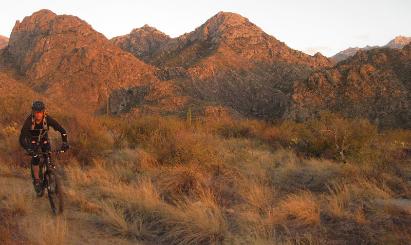
Newly built trail, just below Lake Hodges greeted me as I continued over to Bernardo Mountain.
Only to find this at the top....

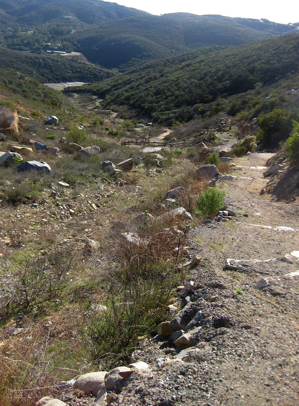
If you look behind the rock cairn in the picture below, you can see the Lake Hodges Overlook on the mountain in the foreground. It is the next stop on the route.

Another good shot of the route. If you look in the foreground, you can see a the tallest mountain. That is the development called Cielos.

I took some of the same trail back around Lake Hodges.

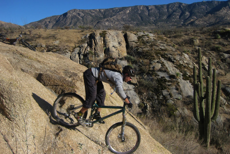
To get Cielos Estates, I rode up the super steep Mt Israel. Cielos States seems have a huge potentional, although the development is a ghost town now. Some 45 1-acre lots of weeds, an abandoned street sweeper, broken signs, etc add to the ghost town feeling. From the top, you can see the ocean and the Elfin Forest/Olivenhain Reservoir...
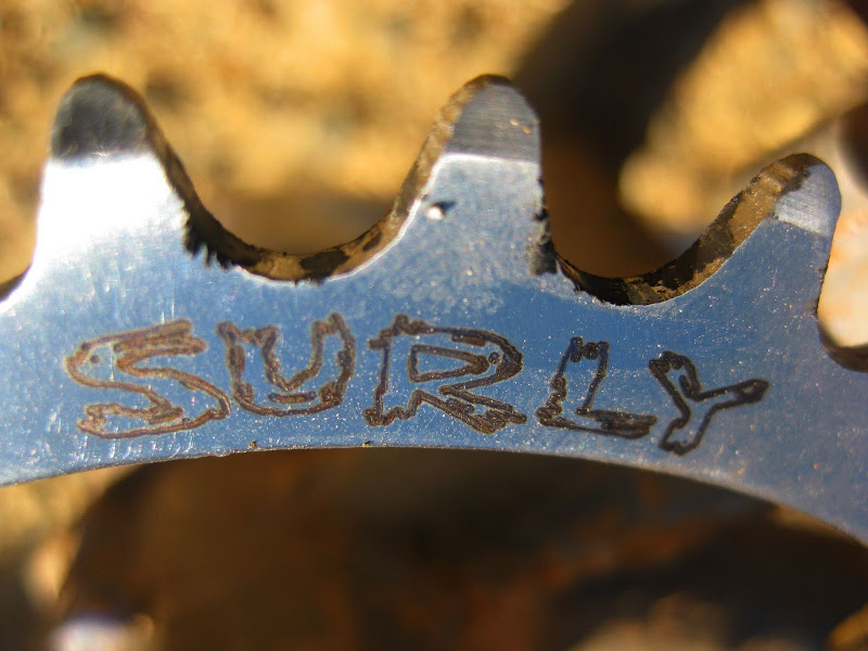
I took a fast lunch break, admired my new chain ring (Scott, you'll be happy to hear that the chain falling off problem has been fixed)
and headed down to the trail, Cielos that connects to the Elfin Forest. Descend about 400 feet only to ascend on the other side.
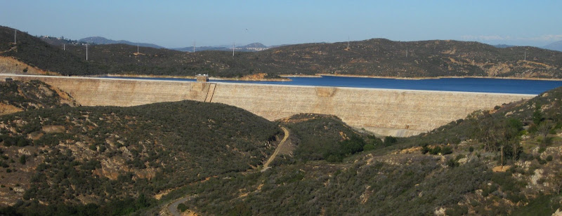
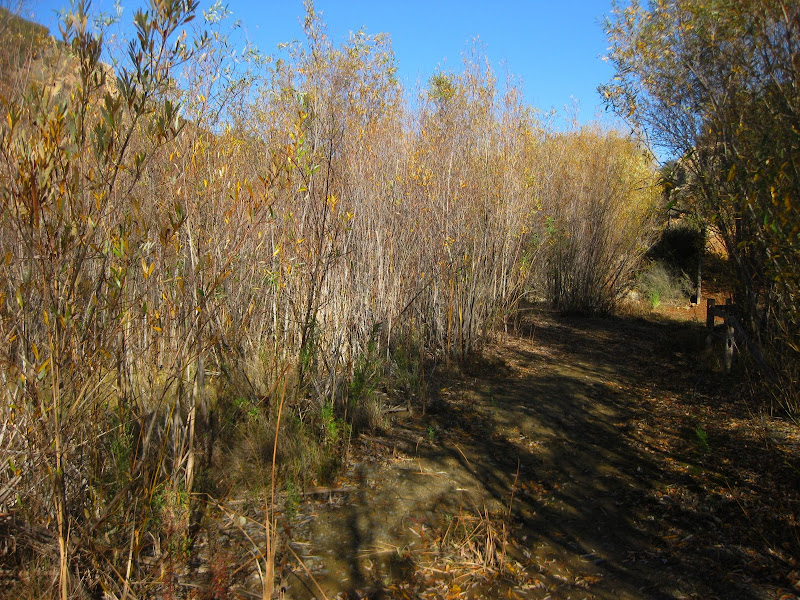
Pretty area below the dam on Cielos.
At the dam station, continue up Cielos (show below) and Manzanitas
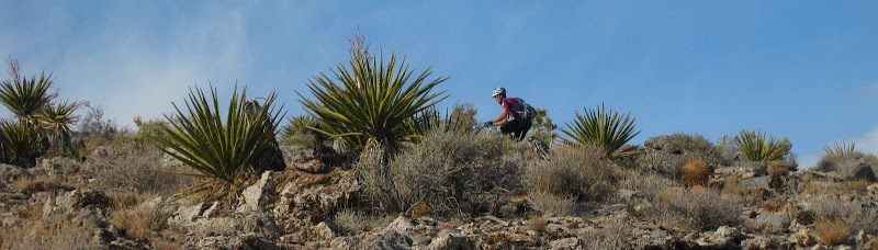
and over to the incline loop. I met a mountain biker that said good things about a loop at the top of the Lake Hodges Overlook.
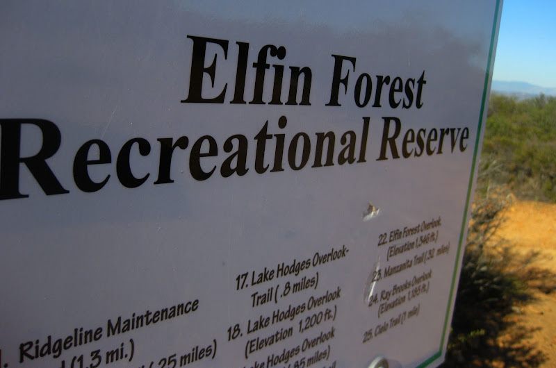
before topping out on the Lake Hodges Overlook, and a quick circle on the loop thereafter (after the ramada, forgot the name of the quick loop, shown below). Headed back down to Hodges via the Del Dios Preserve (a super steep road that drops you out near Elm Street on Del Dios Highway), returning on the same San Dieguito Path to the house again.

I have a GPX file of the route if anyone is interested to see it. Great day on the bike.
37 miles
4716 feet of climbing