Saturday, December 18, 2010

Como Trail

After a quick breakfast at our friend's house, K and I headed up to Como Trail with said friends. I did a loop past the windmill to the Saguaro Ranch No Trespassing Sign (west of Como windmill), then dropped back down Como for some fun descending while they did a quick hike up to Como Trail. Timing worked out really well as she got to run back down the technical sections while taking a handful of pictures.


The wrist has been cleared by the doctor, timing could not have been better.


Quite the amazing ridgeline when you get up on top. Last time Scott and I rode this uber technical descent, we got a standing ovation from some hikers. Today, a simple "Wow, I can't believe you are riding up this" and "Those are really big tires."


A near perfect descent of Como, the rocky wash is still by downfall.


Nearly all pictures by Kendall

I have been organizing pictures by location for the past few months. Lemmon and Tortolitas are two of the biggest photo albums since I have started. Here is a two month overview of the riding in the Tortolitas. If you have not ridden out here yet, perhaps this will be enough to push you over the edge.


Thursday, December 16, 2010

Shattered

Have you ever had one of those days that you were on? Where the impossible became the possible?


Prison (up/down), up Molino and on to descend the elusive Milagrosa.


Oh Milagrosa...How many of us can say we have cleared every technical section on this trail? A few locals, I think. But who has cleaned the entire thing in one shot, one ride?! *crickets, crickets* Can anyone say "yes" to this statement?


I know I have a resounding "no" to that question. But, on this day, I actually thought I had a glimmer of hope. A near dabless ride up Molino is where it began. It continued on toward Milagrosa, excited, yet cautious.


Focusing on the prize became ever clearer....Milagrosa. Waterfall. Cleaned. Rock Garden. Cleaned!

Oh my gosh, could it be the first dabless ride on Milagrosa!?


We continued on, stopping to check the now empty bottle of Tequilla...bummer.


At the green gate, I boasted of my endeavors to Max, perhaps even boasting too much. The now forgotten quote was "Hey Max, do you want to follow my line to clean this section. I cleaned it all a few weeks ago."

We set off after the green gate, cleaning the sketchy, uber rocky chute section.

"Well done, Chad." Max commented.

Next thing I know, I look back and Max is gone. Turns out he went over the bars...and I was next. I took the second to last technical move on Milagrosa way too fast. Not realizing there was about a (relatively small) rock, at the bottom of the drop, I hit it with my front tire, Stan's blew and then I went over the bars only land really hard on my palm. First lesson: never underestimate Milagrosa. Second: don't get cocky.

After a visit to the urgent care, turns out I may have a broken scaphoid. They outfitted me with a splint and told me to wait for two weeks.

Ah Milagrosa, one day.......I will conquer you in one, single ride, top to bottom.


Which brings us to today. In a few hours, I will be heading in for more x-rays to see if I will continue to be off the bike. Stay tuned for more.

Tuesday, December 07, 2010

Giving

Just one of the many ways we give back and say thank you for building so many miles of trail. We started this charity ride to show our contribution as mountain bikers. All monies earned from the ride go directly to the Arizona Trail Association. Details about the ride here.

If you can't make it to the event on January 15th, help promote by sending this link, printing the above flyer to distribute to your LBS, posting it on FB, blogging or even donating to the ATA in your absence.

Thanks....

Thursday, December 02, 2010

Cowboy Trails

If I was to say "Mountain Biking in Las Vegas," without doubt the first trail that would come to your mind would be Bootleg in Boulder City. And rightly so, there are some fun shuttle-able trails.

Last year, I had the opportunity to ride the Blue Diamond Trail system (click here to see pictures). Since my family lives in Las Vegas, I trend to visit with the bike on an annual basis. I new the Cowboy Trails near Red Rock could possibly provide the needed excuse to live the city (key word city, we tend to avoid the strip).

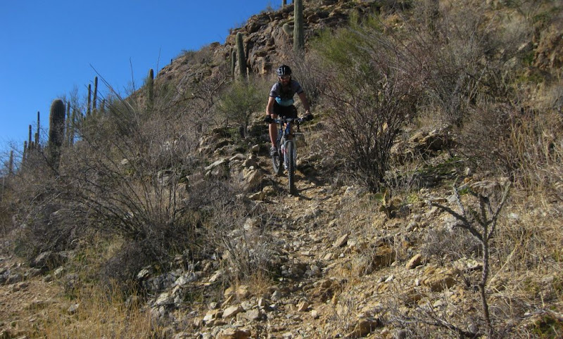
The best part of the Cowboy Trails is the non-existent trailhead. When you pull up, the big Horse Stables sign leaves little wonder to the imagination. In fact, if I did not know about the trails, I would simply drive by and think it was a private ranch.


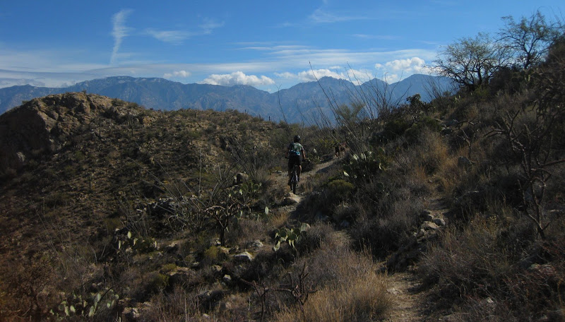
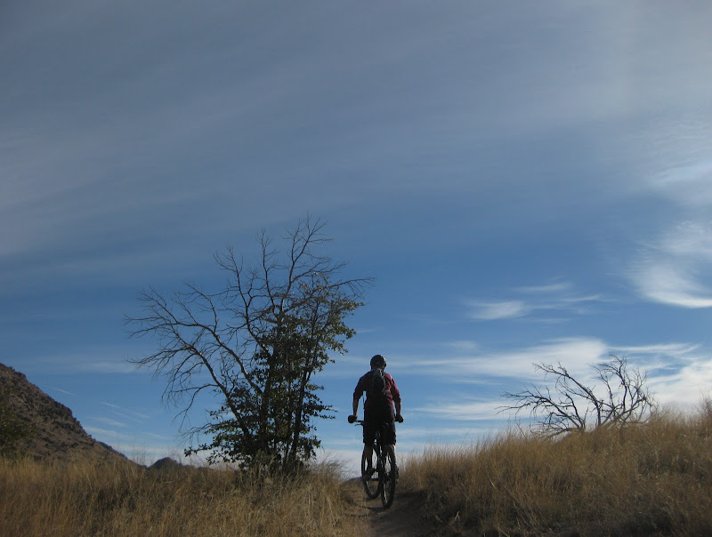
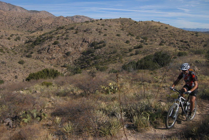
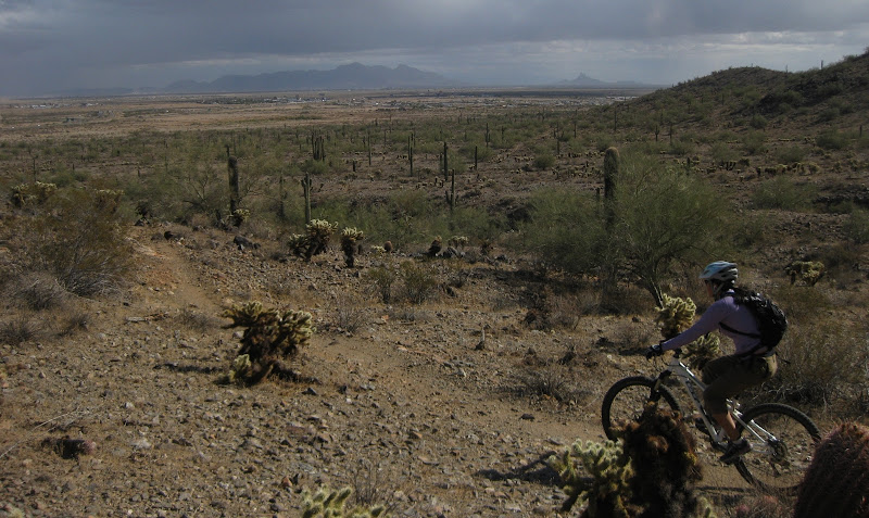
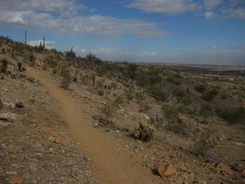
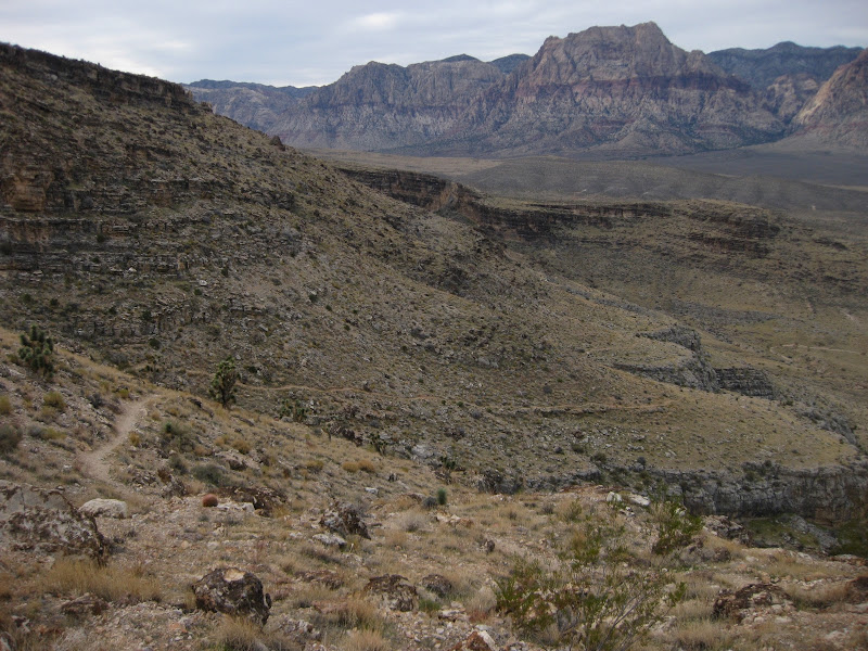
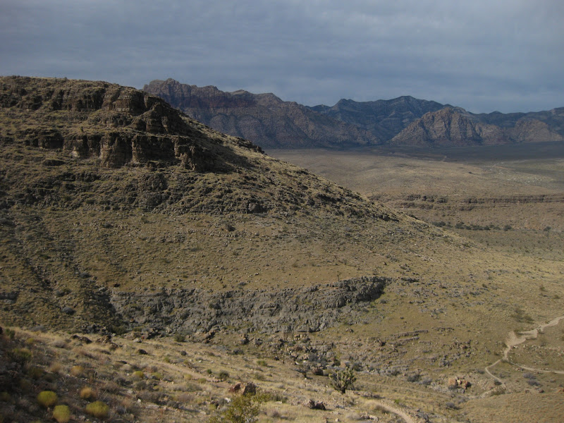
I think I could show you the Bunny Trail backdrop and that would simply convince you to visit these trails. Check out that background.


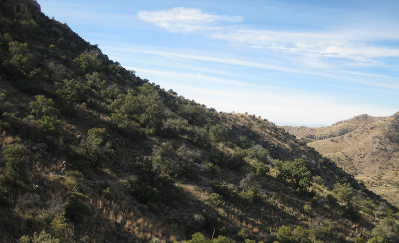
From the Bunny Trail, we continued on to all the Fingers, as they call them on the signs.


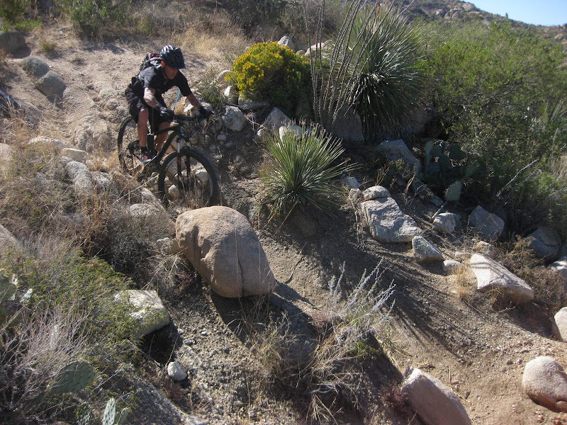
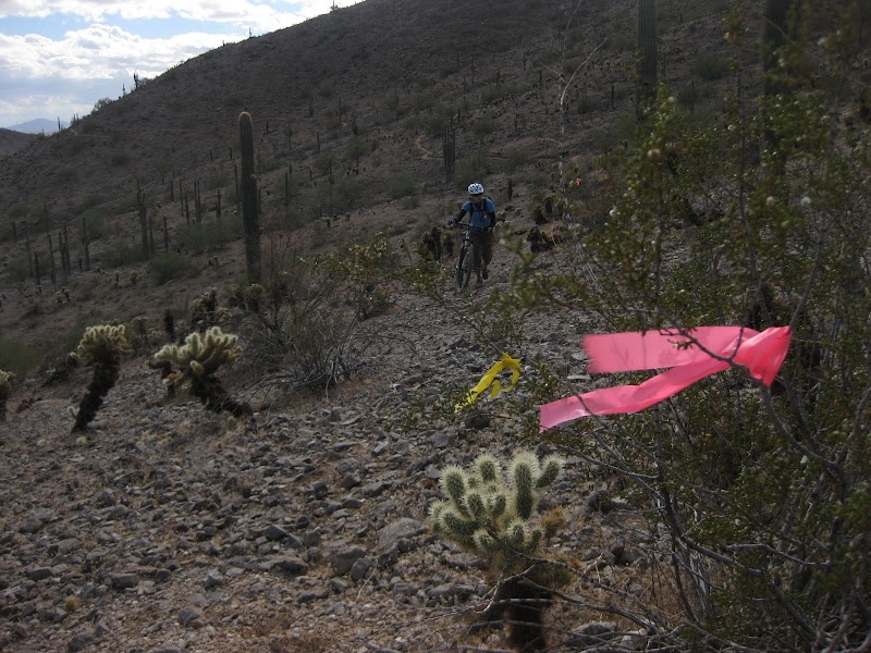
Most of these sections would be great for any intermediate rider.


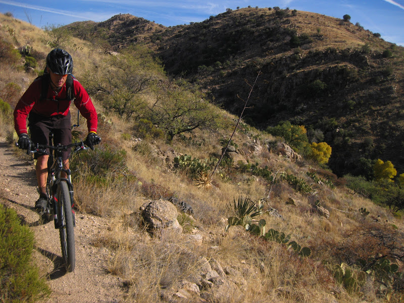
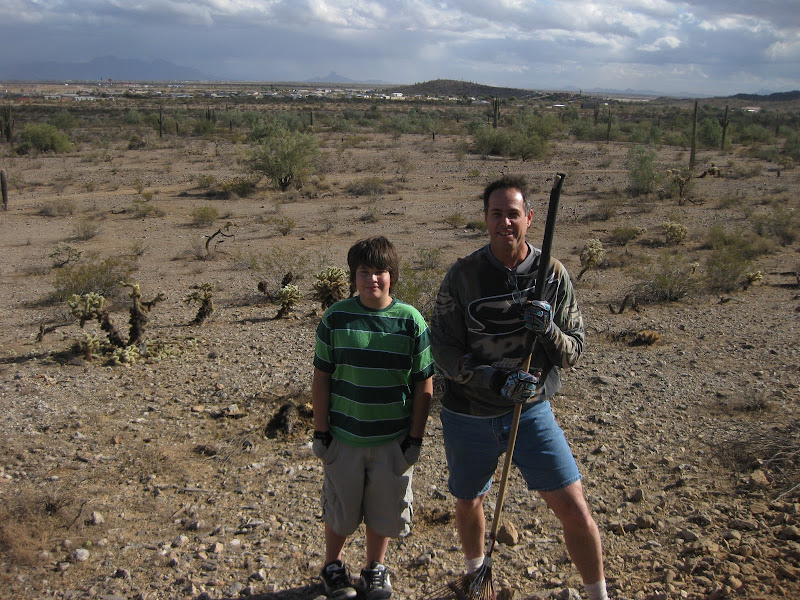
Photos of me by Kendall Gin


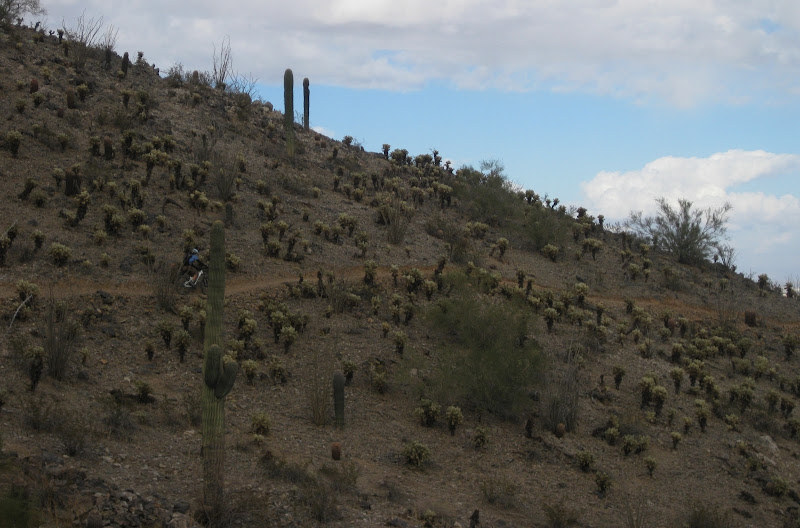
As the trail nears the top, you veer off to Fossil Trail, then over to Sars and Anti Sars. I didn't really have a printed map nor GPS handy, simply followed the bike tracks around the mountain.


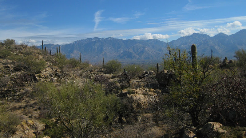
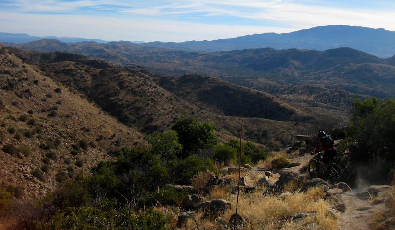
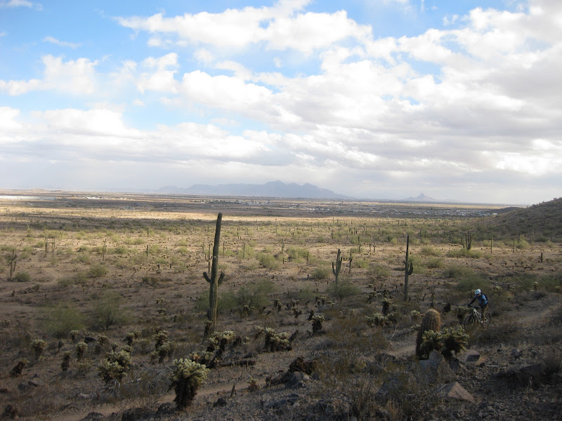
After the radio towers, you top out at this view of Las Vegas.


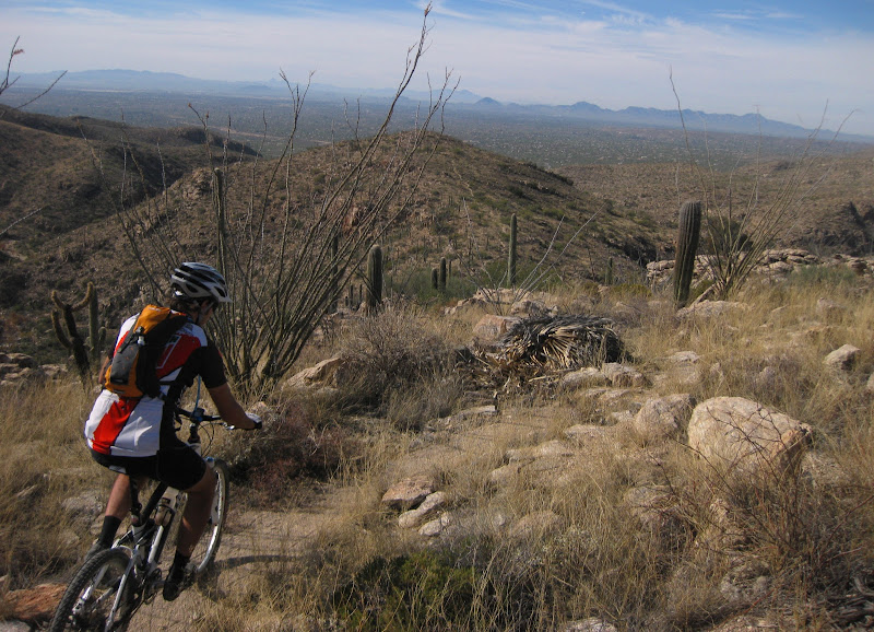
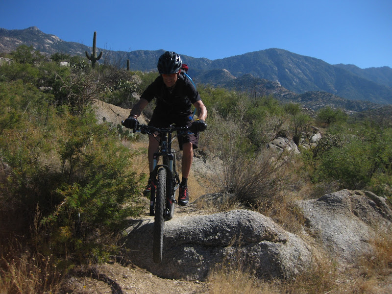
But the real view was this fun ridge that you got to ride on. The trail got progressively difficult as you descended.


Veering right at the saddle (where equestrians tie up there horses). You have 3 options. The first right will take you down to Bomb Voyage (which apparently is new). The second right is Bob Gnarly and continuing past both of these turns will take you near full circle back to the Boneshaker.

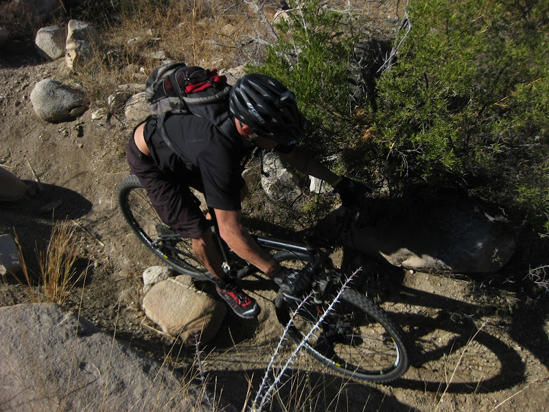
We chose a combination of the two, headed down Bob Gnarly (not recommended for intermediate riders, this is an advanced trail).


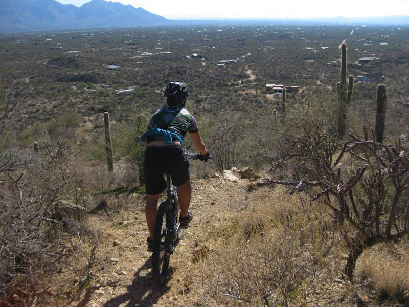
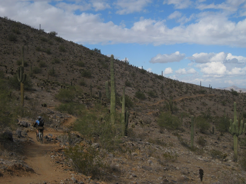
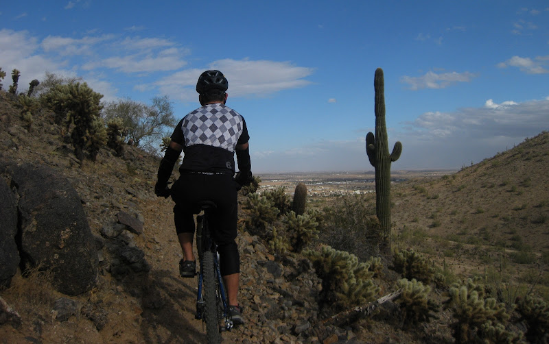
And over to Bomb Voyage, the steepest trail in the entire network. This is a fairly new trail (no tracks on the trail) that climbs up and around to a group of rocks, then over to Ridge Ride/Three Amigos.


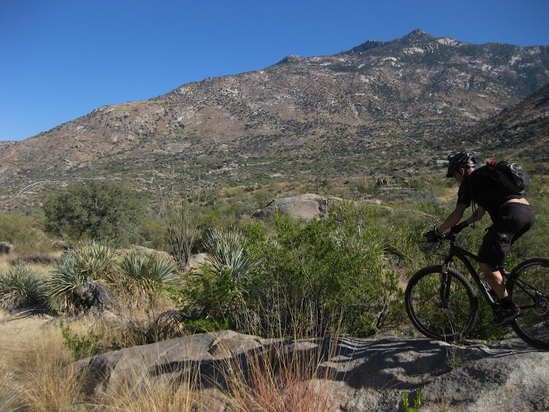
It's a beautiful trail, as you can see; but you really have to enjoy climbing to enjoy it. The contouring at the beginning turns into some steep ups....very fun stuff.


Some sweet trails. Click here to see the map of the network. Note that Bomb Voyage is not on this map. These trails are rarely used, especially some of the trail on the north side. It's a shame given the scenery, technical aspect and rideablitiy. Hope to get up there again and explore some more trails near the north of the Red Rock State Park.

Baby Jesus

A few weeks ago, Max and I did a from home semi-epic ride to Catalina State Park


up the Sutherland Jeep Road (playing the classic Who Dabs First game)


and over to Baby Jesus.


Talk about overgrown and destroyed. Hijole! We need to do some trail work up there. I did bring loppers to cut a few branches, but more needs to be done.


Some of the lines where washed out, but on the whole things were still pretty rideable.


Stunning views of Samaniego in the background, the new go-to trail for Tucsonans. However, it seems as though some of our local trails are not being used very much and/or missing some trail work time.

Wednesday, December 01, 2010

Casa Grande Mountain

Some recent forum chatter about the trails at Casa Grande led Kendall and I to make a stop on the way home from LV.


Before getting to the new singletrack, we rode most of the older, existing trails. The existing trails a zigzag of near perfect trails. The best part: Kendall could pick the shorter, easier line while I stayed high and rocky. Each respective trail would eventually meet.


Picture taken by Kendall Gin


It's like riding a groomed singletrack trail, you feel like a king riding in this place.

I had read about the corduroy-like trails from local builder Phil, the main. He comes out in his spare time to maintain the trails. Judging by the amount of raked trails, he most come out here a lot.


Nearly every section we rode to the north had some evidence of his raking.


The new, trail was about 1-mile long of high, contouring and ending appropriately abruptly to hide it from the ATVers out there. We took a jeep road back down the mountain, but not before scouting out some of the flagged future trail. Good stuff planned for this trail.


Kendall and I even got to meet the legendary Phil and his son, working on the trail! We chatted for a bit. He mentioned that the city of Casa Grande contracted Mark Flint to lay out the trails and now the locals are laying out the trails. If you want to help out, just check out MTBR for the most recent volunteer dates. They really have some sustainable, fun trail out there (both new and old).


I love the lighting on this picture. Great ride to end a great vacation with Kendall and the family in LV.

Great trails, definitely worth the stop. If was going to go again, I would avoid the Peart St entrance and go directly to the the truck stop (the one that used to have a Starbucks). Here are the directions.

Directions: Exit 200 Sunland Gin Rd. from Phoenix/Chandler go right, from Tucson go left. First right is Arica rd. it will be after the truck stop. Follow Arica rd. and when you reach the unpaved area you will see signs posted.

Trail Map available here from MTBikeAZ.com

Also, I would love to take the higher line to check out some of the technical options that are on the ridge. Perhaps that could be the carrot for those readers that maybe want to check the CG Mountain out....If you are driving on I-10 or I-8, stop by and see the new/old trails, perhaps you may just find yourself riding up on the technical trail.

LinkWithin

Related Posts Plugin for WordPress, Blogger...